
Model different scenarios
Compare possible territory structures before choosing the right distribution for your teams.
Territory alignment
Create what-if scenarios, visualize geographic changes and make informed decisions about the distribution of your field teams.
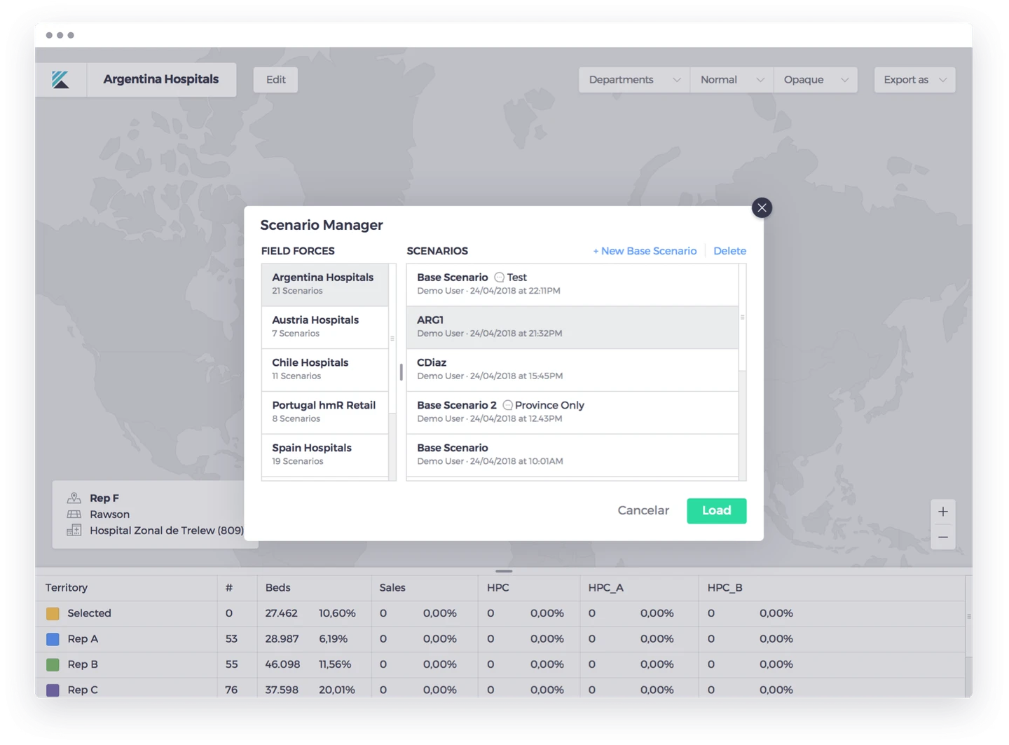
FROM INFORMATION TO ACTION
Compare possible territory structures before choosing the right distribution for your teams.
Visualize territory changes and assess geographic coherence as you work.
Use a clear geographic view to help area managers review and agree on territory changes.
SEE IT IN THE WORKFLOW
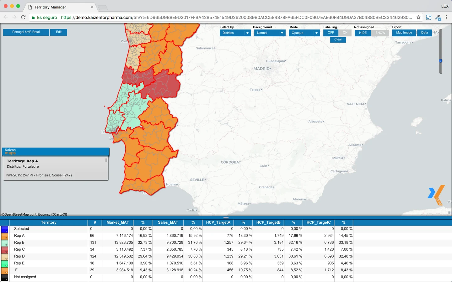
Create what-if structures and review possible changes before choosing a distribution for the field force.
Assess market, sales, potential, HCP tiers and workload together when you compare a territory plan.
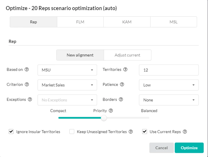
Use geographic context and an optimizer workflow to make the next territory decision easier.
Territory alignment is shown as a desktop planning workflow; it is separate from offline iPad use.
KEEP EXPLORING
YOUR NEXT STEP
Explore connected analytics and the team that manages your data.